Duration 9:53
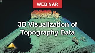
Visualize DEMs and Raster Topography in Matlab
Published 16 Mar 2023
Watch this video to learn how to load and visualize raster datasets such as digital elevation models. The Matlab script is available from OpenTopography’s GitHub page: https://github.com/OpenTopography/Visualize_Topography_Data_In_Matlab https://opentopography.org/ OpenTopography facilitates community access to high-resolution, Earth science-oriented topography data and related tools and resources
Category
Show more


Comments - 0
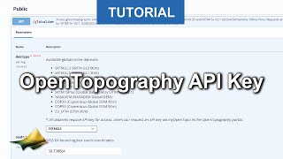
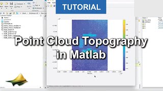
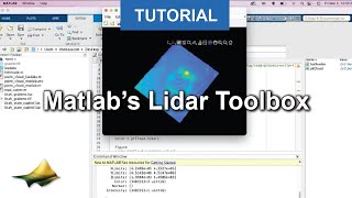
Related videos for Visualize DEMs and Raster Topography in Matlab: